How to Find Out If a Long Island Home Is in a Flood Zone, and What Flood Insurance Costs

The National Flood Insurance Program is authorized only through December 11, 2026. It has already lapsed twice in the past year, from October 1 to November 12, 2025, and again from February 1 to 3, 2026, according to a Congressional Research Service update dated September 11, 2026. Anyone with a Long Island closing on the calendar has a practical reason to settle the flood question early.
That question has two halves: whether the address sits in a mapped flood zone, and what coverage would cost if it does. Both can be answered largely from public sources, in the order below, starting with a free federal lookup and ending with the paperwork a New York seller must now complete. One caution about the numbers: the cost figures that follow are national or statewide, because no verified Long Island average turned up in the research for this post.
Step 1: Search the address on FEMA’s Flood Map Service Center
FEMA’s Flood Map Service Center, at msc.fema.gov, has an address search that identifies the effective Flood Insurance Rate Map (FIRM) for a location. Two results need translating. A note that the area is on a non-printed panel means the map appears only on the FIRM Index Map, while an unmapped result means FEMA has not published a flood map for that spot at all (FEMA Flood Map Service Center, how-to and FAQs).
The same site’s Search All Products tool lists historic, pending and preliminary maps, flood insurance study reports, and Letters of Map Change issued since 1997. That list is where a buyer learns whether a revision is in progress for the address. Effective maps can be turned into a FIRMette with FEMA’s web tool, though preliminary maps cannot, and a dated printout gives an attorney or lender something concrete to review.
The zone matters because of what it triggers. The National Association of REALTORS® consumer guide says owners in a high-risk area, defined as a 1 percent or greater annual chance of flooding, must carry flood insurance when the mortgage is federally backed (NAR consumer guide to flood insurance). The Town of Islip describes its special flood hazard area as Zones A and V, mainly along Great South Bay and Fire Island (Town of Islip floodplain management); other towns have their own footprints.
Step 2: Confirm with the town, and with the state if needed
Floodplain rules on Long Island are administered town by town. Islip publishes an “Am I in a Flood Zone?” map layered over the FIRM and accepts a Flood Zone Determination Request Form through its Planning Division, which the town describes as a courtesy service for property owners. Brookhaven goes further for new work, since its flood damage prevention code requires certified as-built lowest-floor elevations for building in the listed flood zones, a requirement covered in the post on elevation certificates.
The state adds a second contact. New York’s Department of Environmental Conservation lists floodplain coordinators by region, and Region 1, covering Nassau and Suffolk, is based at SUNY Stony Brook (NYS DEC floodplain coordinator directory, October 2023). Names and numbers in a directory that old may have changed, so the current DEC listing is worth checking before a call.
Step 3: Read the seller’s flood answers
Since March 20, 2024, New York sellers have had to complete the Property Condition Disclosure Statement, and the form now asks about flooding directly, according to the New York State Bar Association (NYSBA). The questions ask whether any part of the property is in a FEMA-designated floodplain, in the special flood hazard area (100-year floodplain), or in a moderate flood hazard area (500-year floodplain). Others ask whether flood insurance is required or in place, whether a FEMA elevation certificate exists, and whether the owner has received federal disaster aid or filed an insurance claim for flood damage.

The change also ended the practice of handing the buyer $500 in place of the form. In the bar association’s words, “The amended law removes this option.” A Long Island land use and zoning blog described how entrenched the old arrangement had become: “Unsurprisingly, the $500 credit to the purchaser became the standard, and not the PCDA.” The practical result is a written record of what the seller says about flood risk, which a buyer can set beside the map result from Step 1.
A disclosure is the seller’s account, not an independent finding. A mismatch with the map is a question for the buyer’s attorney, and what any particular answer means legally falls outside what this post can say.
Step 4: Read a clear result for what it is
A Zone X result means no federal mandate applies, nothing more. The NAR guide notes that flooding can happen wherever it rains and that most homeowners policies do not cover flood damage, so coverage in a non-mandated area becomes a decision the buyer makes with open eyes.
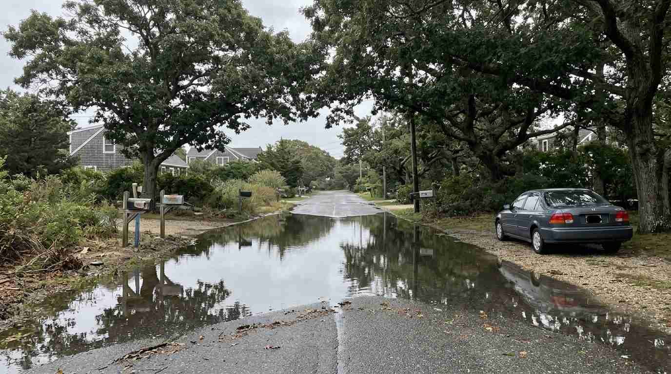
On the North Shore, bluff and harbor geography complicates the picture, which the earlier post on Sound-facing properties and FEMA maps covers in detail. Map revisions and individual map amendments are the subject of the Suffolk County remapping post. And last month’s storm gave the topic a local test: the timeline of September’s nor’easter records tidal flooding and cleanup across the Island.
For a look at what a high tide does along the shoreline, CBS News New York’s report from Long Beach, published October 13, 2025, covers coastal flooding across Nassau and Suffolk during an earlier nor’easter.
What flood insurance costs
FEMA’s quarterly Watermark report for the fourth quarter of fiscal 2022 put the average annual NFIP premium at $935, counting the premium and the federal policy fee, across 4.719 million policies (FEMA Watermark). The NAR guide, citing FEMA, rounds the figure to about $1,000 a year. Both are national averages, and an average says little about a single house on a Long Island harbor.
Since Risk Rating 2.0, the price is built from the property’s own characteristics. The Congressional Research Service lists distance from water, type of flooding, flood frequency, foundation type, the height of the lowest floor relative to the Base Flood Elevation, prior claims and replacement cost, with heavy-rainfall flooding added to the model (CRS, Risk Rating 2.0 FAQ). Premiums for primary residences can rise by up to 18 percent a year, while second homes, non-residential properties and certain others rise by 25 percent a year, until each reaches its full-risk rate.
Pricing is moving toward that full-risk level. Neptune Flood, a private flood insurer, reported on September 9, 2026, from its analysis of FEMA policy data, that more than half of NFIP policies are now priced at full risk, up from one-third in December 2022 (Neptune Flood analysis via InsuranceNewsNet). The company sells competing coverage, so the finding is best read as one party’s analysis.
New York’s own record is mixed. A 2025 FEMA comparison of the two rating methods found about 54,000 New York policyholders saw decreases under Risk Rating 2.0, where none had under the old method, and about 11,300 saw increases of $20 or more a month, down from about 17,800 under the old method (FEMA, New York methodology comparison, 2025). Those counts are statewide, not Long Island.
| Item | Figure | Source and scope |
|---|---|---|
| Average annual NFIP premium | $935 | FEMA Watermark, Q4 FY2022; national |
| Same average, rounded | About $1,000 | FEMA as cited by NAR; national |
| Residential coverage limits | Up to $250,000 building, $100,000 contents | NAR consumer guide |
| Usual wait before coverage starts | 30 days, with exceptions tied to a mortgage | NAR consumer guide |
| Yearly increase cap, primary residence | 18% | CRS |
| Yearly increase, other categories | 25% | CRS |
| New York policyholders with decreases | About 54,000 | FEMA 2025 comparison; statewide |
Private flood policies are the other route. The NAR guide says they may cost comparable amounts but can offer higher limits and payments for temporary living expenses, and they can supplement an NFIP policy. An elevation certificate is no longer required to buy NFIP coverage under Risk Rating 2.0, as the elevation certificate post explains. For the homeowners side of the bill, see why Long Island homeowners insurance keeps climbing and why the insurance quote should come before the offer.
A quote on the specific address, requested before a contract is signed, replaces every average above.
When the federal program lapses
The Congressional Research Service describes what a lapse does. The authority to issue new flood insurance contracts ends, while policies already in force continue until the end of their one-year term. Claims keep being paid as premiums come in, and real estate transactions in high-risk areas could be significantly hampered because lenders enforce the purchase requirement and new coverage could not be written (CRS, What Happens If the NFIP Lapses?, updated September 11, 2026).
Congress has extended the program in short steps, 36 short-term reauthorizations since the end of fiscal 2017, and in most lapses it later reauthorized retroactively. CRS reports that some lenders suspended the flood requirement during the 2025 lapse and that federal agencies may accept qualifying private flood insurance, though the NFIP still generally meets the requirement. Whether Congress acts before December 11 is not something this post can predict. A buyer with a closing near that date can ask the lender and the closing attorney how a lapse would be handled for that loan.
Flood-ready gear for a home in or near a flood zone
These four products cover the preparation side of ownership. None replaces insurance or a licensed professional’s assessment of a property.
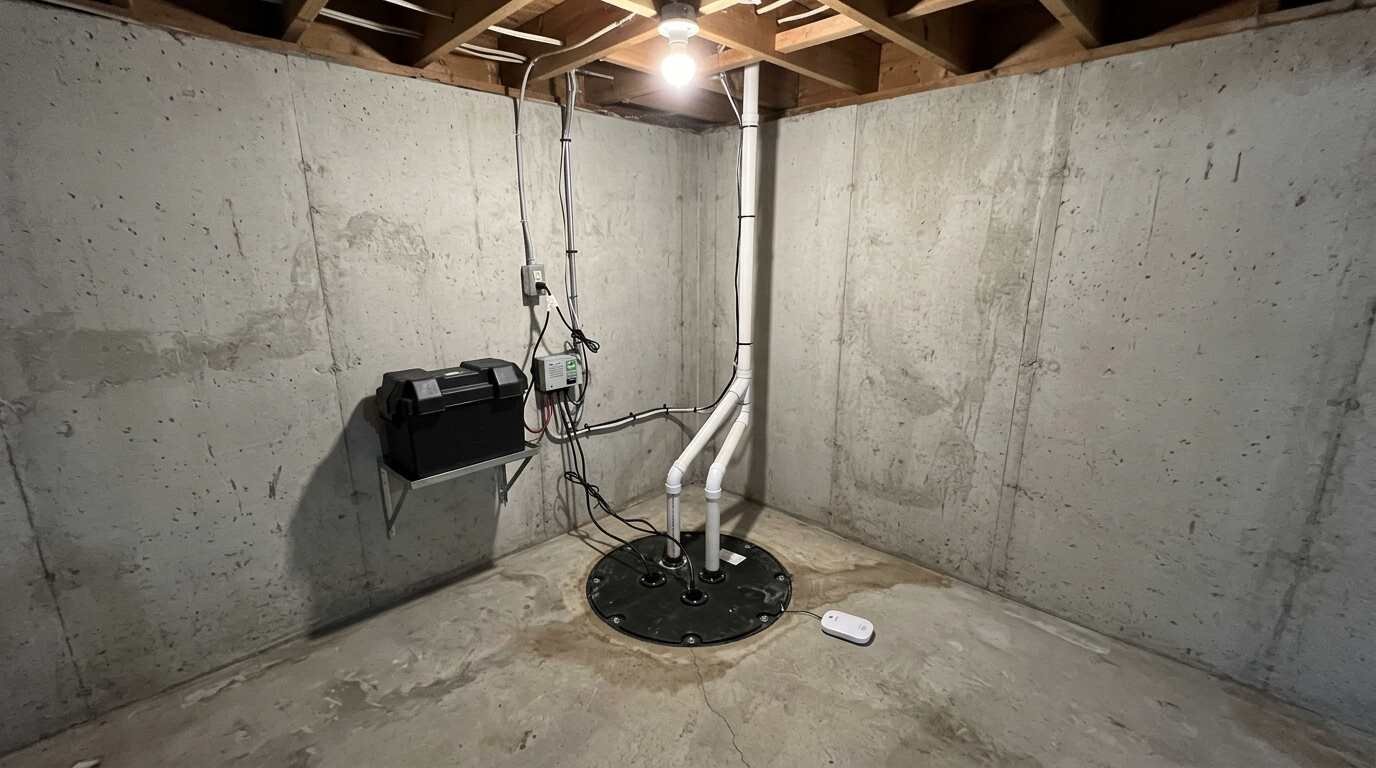
- WAYNE WSS30Vn 1/2 HP combination sump pump system pairs a primary sump pump with a 12-volt battery backup pump for basements that take on water when the power fails. See it on Amazon (affiliate link)
- Flo by Moen smart water leak detector is a leak sensor meant for spots like a sump pit, water heater or laundry room. See it on Amazon (affiliate link)
- Midland WR120B NOAA weather alert radio delivers county-specific S.A.M.E. alerts and keeps running on three AA batteries during an outage. See it on Amazon (affiliate link)
- SentrySafe CHW20221 portable fire chest keeps the deed, the policy declarations page and any elevation certificate in one place, and the current listing states its water rating. See it on Amazon (affiliate link)
As an Amazon Associate I earn from qualifying purchases. A commission may be earned if you buy through this link, at no extra cost to you.
Common questions
Does homeowners insurance cover flood damage? Most homeowners policies do not, according to the NAR guide, so flood coverage is a separate policy.
Does Zone X mean a lender will not ask for flood insurance? A federally backed mortgage triggers the requirement in high-risk areas, and Zone X is not one. A lender or a buyer can still choose coverage.
How long until a new flood policy takes effect? The NAR guide says NFIP policies typically take effect 30 days after purchase, with exceptions when the insurance is bought in connection with a mortgage loan.
Can a flood zone designation change? Letters of Map Change are issued for individual properties and communities, and FEMA’s Map Service Center lists those issued since 1997. The Suffolk County remapping post covers how revisions and amendments play out locally.
This is for informational purposes only — consult a licensed attorney or financial advisor for your specific situation. Figures reflect sources available on October 10, 2026, and may have changed since this post was written.
Real estate markets change. For current listings and market data, contact Maison Pawli at maisonpawli.com/about/.
You Might Also Like
- Why Long Island Homeowners Insurance Keeps Climbing — Even Away From the Flood Zone
- How to Read a Waterfront Lot Survey Before You Make an Offer
- The DEC Permit Nobody Mentions at the Showing: Wetlands Regulations and Long Island Waterfront Renovation
- Fine Art Insurance: What a Long Island Homeowners Policy Covers and Where It Stops
Sources
- Congressional Research Service, What Happens If the National Flood Insurance Program (NFIP) Lapses? (updated September 11, 2026)
- Congressional Research Service, National Flood Insurance Program Risk Rating 2.0: Frequently Asked Questions
- FEMA, Flood Map Service Center: how-to and FAQs
- FEMA, The Watermark, fourth quarter fiscal year 2022
- FEMA, New York new methodology vs. old methodology narrative, 2025 (PDF)
- National Association of REALTORS®, Consumer guide to flood insurance (PDF)
- New York State Bar Association, New rules on property condition disclosure and flood risk go into effect
- Long Island Land Use and Zoning, Disclosure revolution: property condition disclosure statements mandatory, adding flood risks
- Town of Islip, Floodplain management and the National Flood Insurance Program
- New York State DEC, Floodplain management coordinators directory, October 2023 (PDF)
- Neptune Flood via InsuranceNewsNet, $2.6 billion in NFIP subsidies remain five years into Risk Rating 2.0 (September 9, 2026)
- CBS News New York, Nor’easter causes high surf, coastal flooding on Long Island (October 13, 2025)
- Midland Radio, WR120 NOAA weather and emergency alert radio