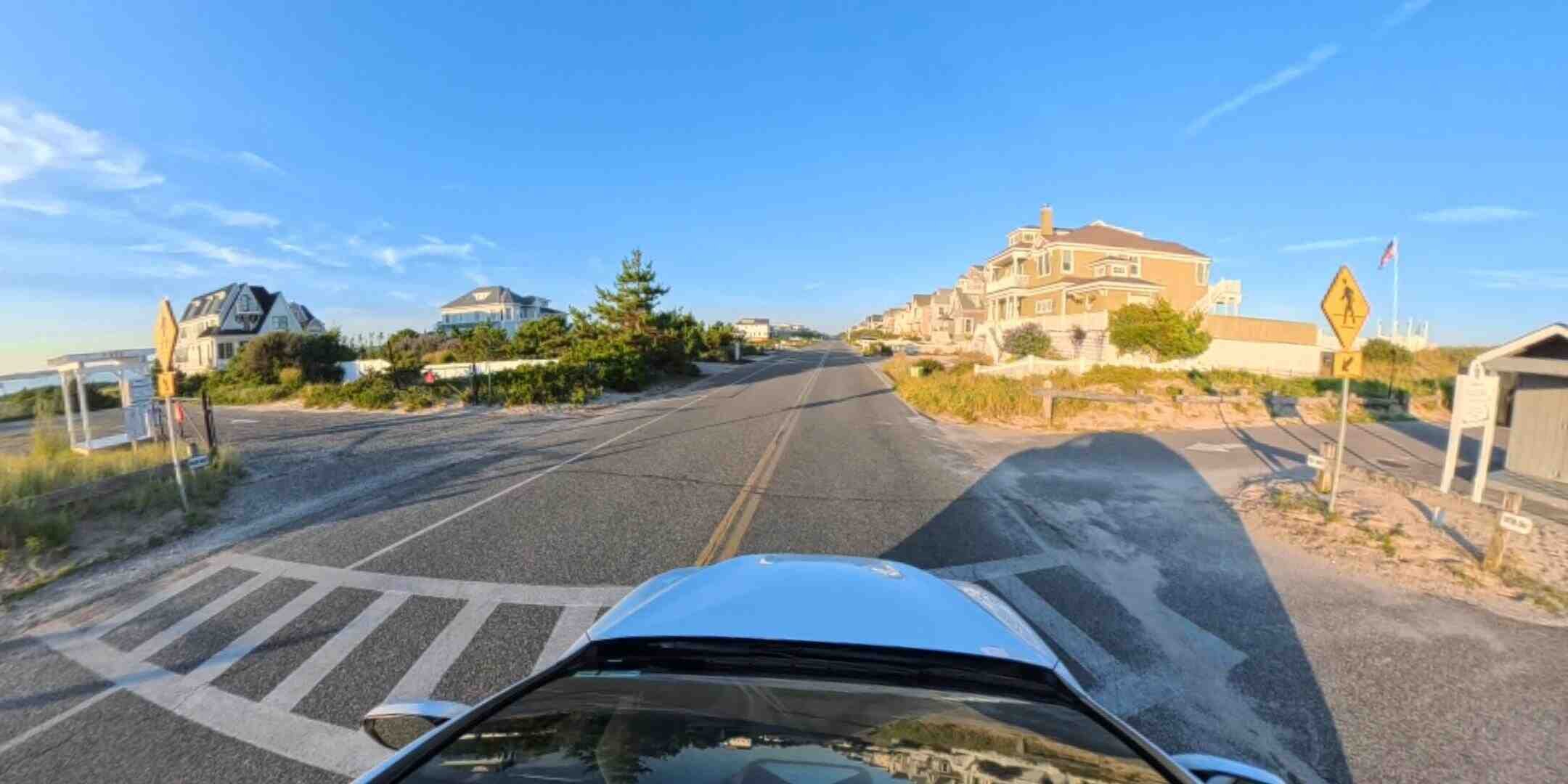
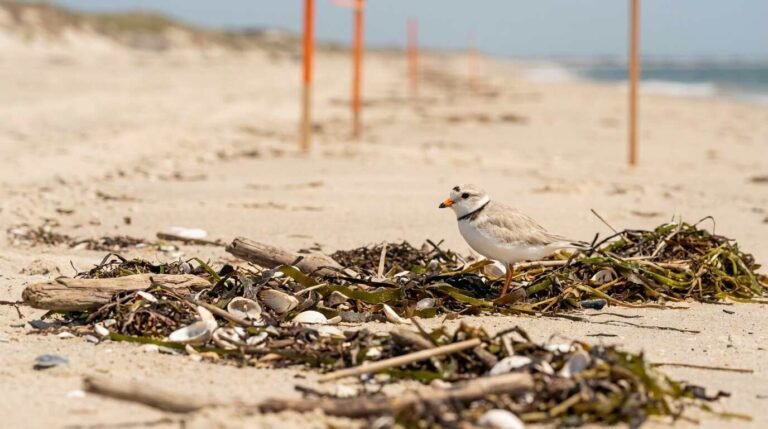
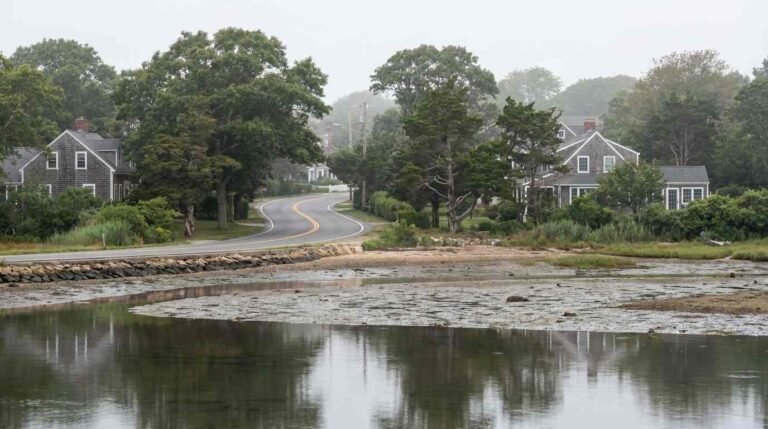
The drive covered here is the western portion: from the road’s terminus at Cupsogue Beach County Park east to the two drawbridges that carry traffic back over the bay into Westhampton Beach Village. It is a short run by mileage and a long one by everything else. Two ocean beaches, one incorporated village that legally forced its own reconstruction, a stratum of piling-elevated houses that read as an architectural record of storm law, and a downtown with a working drawbridge at each end.
Interactive drive-along. Viewers can pan the full sphere while the car moves east. Paste the YouTube URL here at push. Goto Youtube to interact in 360
Turning the car east from the Cupsogue lot, the geography sorts itself immediately. Atlantic on the right. Moriches Bay on the left, giving way to Moneybogue Bay as the road approaches Westhampton Beach. House numbers descend as you go — the Village of West Hampton Dunes offices sit at 906 Dune Road, and the numbers drop steadily from there — which makes the address system a rough odometer for the whole drive.
West Hampton Dunes and the Storm That Rewrote the Rules
Highlights on the flat video will be the beach homes, and the honest way to look at them is structurally rather than aspirationally.
Almost everything on this stretch sits on pilings. Living space starts a full story above grade, decks wrap toward whichever water the lot faces, and the ground level is left deliberately open or given over to storage that can be sacrificed. That is not a style decision. It is what the floodplain rules and the insurance math require, and it is why the houses on this island look like a coherent architectural family despite forty years of separate construction dates.
Orientation splits them into two populations. Ocean-side houses take the wind and the salt and command the premium; bay-side houses get the sunsets, the dock potential, and — as coverage of Sandy’s local aftermath recorded — a different flooding profile entirely, since bay water rising from behind can do damage the surf never touches. Anyone weighing one against the other is really weighing two separate risk models, which is the same calculus behind the maintenance and resale differences covered in Sound vs. Bay vs. Harbor.
The financing and insurance layer sits underneath all of it. Flood zone designations here are consequential in a way they simply are not five miles inland, and the ongoing remapping work across the county is worth understanding before anyone signs anything — see New Suffolk County Flood Zone Remapping Is Here. Thin comparable-sales data compounds the problem on barrier islands generally, a pricing difficulty examined in The Comps Don’t Exist.
This is for informational purposes only — consult a licensed attorney, insurance professional, or financial advisor about your specific situation.
Flat-frame edit. Beach home architecture, the dune line, both drawbridges. Paste the YouTube URL here at push.
The First Left Is Jessup Lane
Here is the detail that trips up most people describing this drive, including people who have made it many times.
Driving east from Cupsogue, then, your first available left off the island is the Jessup Lane bridge. Beach Lane is the second. Note also that the bridge carries Jessup Lane; Jessup Avenue is the village street north of the water, which is where the confusion tends to originate.
Access to both runs on a permit-and-sticker system administered by the village, and it is genuinely restrictive — a point worth registering before anyone assumes an oceanfront address confers automatic entry to the nearest lifeguarded sand. Cupsogue, at the far western end, remains the public-access option on this stretch for anyone without a village permit. Permit systems on Suffolk beaches have a second life as habitat policy, incidentally, which is the argument made in Piping Plovers and Permit Systems.
Continue east and Beach Lane presents itself: the second bridge, the wider one, the crossing that drops you into the village.
Main Street, and the End of the Drive
Over the Beach Lane bridge, the barrier island releases you into downtown Westhampton Beach. The village keeps its commercial life on a street named, with no ambition whatsoever, Main Street — shops, restaurants, the Westhampton Beach Performing Arts Center, and a municipal marina on Library Avenue that puts boat traffic within a short walk of the retail block. Jessup Avenue runs perpendicular through the center of it, closing the loop with the bridge that shares its name.
The village is small. Its real estate market is not, and Dune Road addresses continue to carry the premium: the Hamptons outlet James Lane Post featured a 521 Dune Road oceanfront listing in July 2026 as part of its regular coverage of the corridor. Buyers priced out of the marquee villages further east have been circling this end of the island for a while now, a pattern examined in Hamptons-Adjacent Without the Hamptons Price Tag.
Practical Notes for Driving It
Dune Road is two lanes with no shoulder to speak of, and in season it carries cyclists, joggers, and beach traffic on the same asphalt. Drawbridge lifts add unpredictable delay in summer. Sand crosses the roadway after weather. Cell coverage is fine but wayfinding is not — there are almost no cross streets to correct a wrong turn, and the two bridges are the only exits between Cupsogue and Quogue.
For a 360° recording specifically, the offseason has real advantages: less traffic to obstruct the sphere, harder light on the water, and dune grass that reads better than August’s bleached version. The technical side of building an interactive tour from raw 360 footage is covered in How We Shot the Backyard at Night and Turned It Into a 360° Tour.
Real estate markets change. For current listings and market data, contact Maison Pawli at maisonpawli.com/about/.
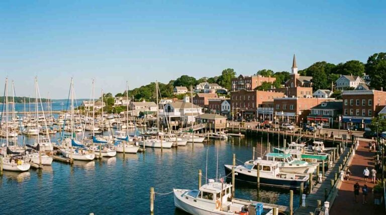
Port Jefferson’s real estate market is outperforming broader Suffolk County trends. Here’s what’s driving waterfront premiums and who’s actually buying right now.
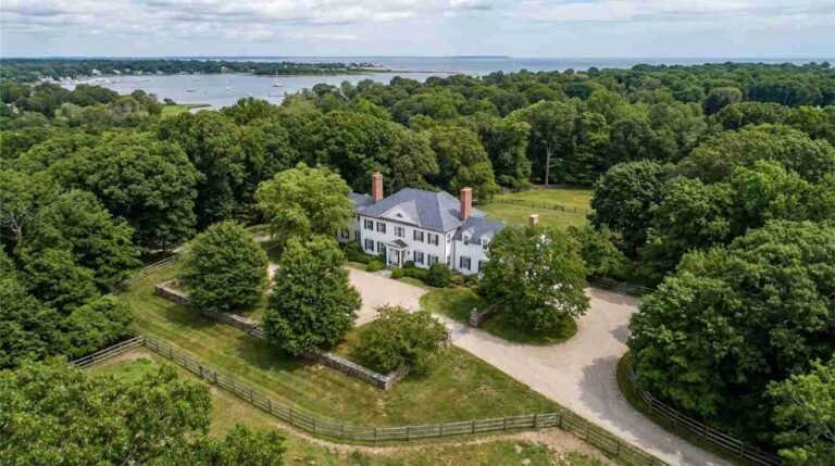
Nissequogue is the North Shore’s most private address — a village of 1,600 people, two-acre minimums, nature preserves, and Sound-facing estates where the market moves slowly by design.
Suffolk County’s ORV permit systems at Smith Point, Cupsogue, and Shinnecock are accidentally creating some of the most effective shorebird habitat refugia on the Atlantic flyway.
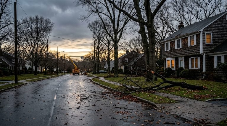
Strong’s Neck is a Setauket peninsula surrounded by Conscience Bay, Setauket Harbor, and the Sound — tidal, intimate, historically layered. Here’s what waterfront actually means here.