Christmas Eve’s High Tide on the North Shore, by the Numbers
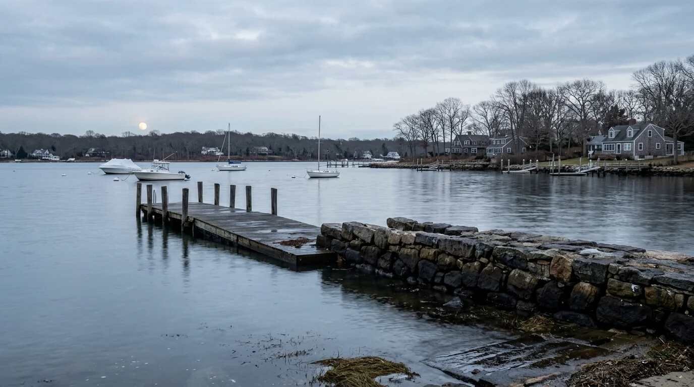
At 10:49 on the morning of December 24, 2026, NOAA’s tide tables call for the water at Bridgeport Harbor, across Long Island Sound from Port Jefferson, to reach 8.00 feet above mean lower low water. Four years earlier, on December 23, 2022, the same gauge had a predicted morning high of 8.01 feet. The tide that actually arrived that day, pushed by a pre-Christmas storm, measured 10.98 feet. The two mornings share a tide table to within a hundredth of a foot, and the difference between a predicted holiday tide and a flooded one was what the storm added.
The Moon Behind the Date
December’s full moon is the closest of the year, and it lands on the night before Christmas Eve
The astronomy is fixed months in advance. BBC Sky at Night Magazine reports that December’s full moon reaches peak illumination at 8:28 p.m. EST on December 23 and, citing astronomer Fred Espenak’s supermoon table, the moon’s closest approach to Earth at 4:30 a.m. EST on December 24. EarthSky notes that the December 24 full moon will be the closest full supermoon of 2026.
A full moon near perigee produces what oceanographers call a perigean spring tide and what the shore calls a king tide. EarthSky is careful about the size of the effect, observing that the difference between a perigean spring tide and an ordinary spring tide is typically a couple of inches. The moon supplies a slightly taller baseline.
Harbor by Harbor on December 24
NOAA’s predicted morning highs, from Mount Sinai to Cold Spring Harbor
NOAA publishes tide predictions for many points along the North Shore. Pulled from NOAA’s prediction service for December 2026, the highest predicted tide of the month falls on Christmas Eve morning at every North Shore station checked:
- Mount Sinai Harbor: 7.12 feet at 10:53 a.m. (NOAA station 8514421)
- Port Jefferson Harbor entrance: 7.84 feet at 10:51 a.m. (NOAA station 8514594)
- Northport, Northport Bay: 8.77 feet at 10:59 a.m. (NOAA station 8515586)
- Cold Spring Harbor: 8.87 feet at 10:57 a.m. (NOAA station 8516061)
- Bridgeport Harbor, Connecticut: 8.00 feet at 10:49 a.m. (NOAA station 8467150)
In these predictions the heights climb from east to west, with Cold Spring Harbor standing well above Mount Sinai. The numbers are heights above each station’s own low-water datum, so a 1.75-foot gap between Cold Spring Harbor and Mount Sinai describes a difference in tidal range rather than a comparison of how deep the water will stand on any particular street. The days on either side run close behind: at the Port Jefferson entrance the morning highs on December 23 and December 25 are both predicted at 7.77 feet.
Not the Highest Tide of the Year
The calendar’s biggest supermoon does not produce its biggest tide
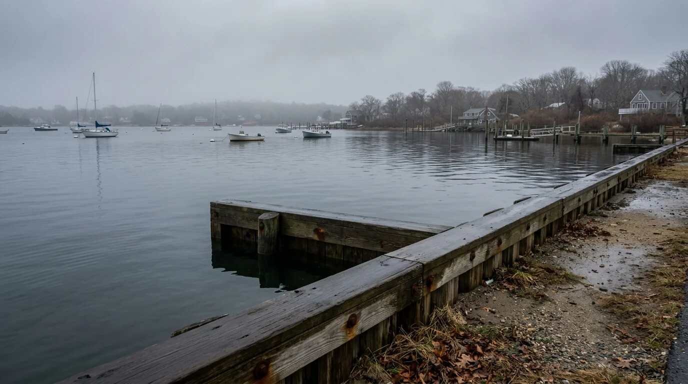
The year’s closest full moon does not bring the year’s highest predicted tide. Running NOAA’s 2026 high-tide predictions for the Port Jefferson Harbor entrance through the full year, at least eight predicted high tides earlier in 2026 stand higher than Christmas Eve’s 7.84 feet. The year’s top predicted tide at that station was 8.20 feet, just before midnight on May 16, with others at 8.17 feet on June 14 and 8.12 feet just after noon on October 27.
The ranking comes from NOAA’s own harmonic predictions, which combine many astronomical cycles beyond the moon’s distance alone. On the North Shore in 2026, that combination ran higher in late spring and mid-fall than it does at Christmas.
Its timing still sets it apart. It arrives in December, and the Bridgeport record that follows shows how high the Sound has climbed in winter storms on tides of almost exactly this size.
What a December Storm Adds
The 2022 storm, laid over the 2026 tide table
The National Weather Service’s office in Upton keeps an impacts record for the Bridgeport gauge, and the document records minor inundation beginning at boat ramps when the water reaches 8.7 feet above mean lower low water, or 1.4 feet above mean higher high water, at Birdseye Marina near the mouth of the Housatonic River. It records the December 23, 2022 storm at 11.0 feet, behind Hurricane Sandy at 13.3 feet, Hurricane Irene at 12.1 feet and the December 1992 nor’easter at 12.0 feet.
Set beside the 2026 predictions, those figures make a simple comparison. Christmas Eve’s predicted 8.00 feet at Bridgeport sits about 0.7 feet below the level at which the Weather Service’s record shows minor inundation beginning at those boat ramps. On December 23, 2022, NOAA’s observed water level at the same gauge ran about 2.97 feet above the predicted tide at the morning high, 10.98 feet observed against 8.01 predicted. The water had been running high since the night before: at the evening high on December 22, the gauge recorded 8.85 feet against a predicted 6.66, a departure of about 2.2 feet that grew overnight as the storm arrived. By the next morning, December 24, 2022, the high came in at 7.48 feet, half a foot under its predicted 8.01.
Applied to the 2026 table purely as arithmetic, a surge of that size on Christmas Eve morning would put Bridgeport near 11 feet again. Nothing in the tide tables predicts that storm. The calculation shows only that the 2026 holiday tide starts from the same height the 2022 storm built on.

Reading the Forecast That Week
The tide table is published now; the surge forecast arrives days ahead
The Weather Service’s New York office posts coastal flood thresholds, station lists, surge model guidance, astronomical tide predictions and its current coastal flood watches, warnings and advisories on its coastal flood page, the place to check in the days before the holiday.
For waterfront owners, the practical calendar is short. The morning highs from December 22 through December 26 all run near the top of the month at North Shore stations, and the timing drifts later by about 54 minutes a day, from 9:04 a.m. on December 22 to 12:39 p.m. on December 26 at the Port Jefferson entrance. For anyone with a boat, a float or a car near the harbor, the month’s highest predicted water level peaks in that late-morning window.
For buyers weighing a waterfront house, the more durable questions are structural. Maison Pawli has covered how to find out whether a Long Island home is in a flood zone and what flood insurance costs, what an elevation certificate shows, and what owners maintain on Sound bulkheads.
Where to Watch It
A predicted high tide is visible from public shoreline
The Christmas Eve high arrives in daylight across the North Shore, between roughly 10:50 and 11:00 a.m. at the stations above. Sky at Night Magazine suggests looking east 20 to 30 minutes after sunset on December 24 to watch the full moon rise.

The winter North Shore coast guide covers public beach access in the cold months. After the morning high the water falls through the afternoon, and the next high at the Port Jefferson entrance, predicted for 11:27 p.m., stands more than a foot lower at 6.70 feet.
You Might Also Like
- Flood Zones on Long Island: Questions for Home Buyers
- Sound vs. Bay vs. Harbor: What the Water Type Means for Maintenance and Resale
- Elevation Certificates for Long Island Flood Zone Homes
Sources
- NOAA Tides & Currents: Bridgeport, CT water levels, Dec. 22–24, 2022 (observed high/low)
- NOAA tide predictions: Mount Sinai Harbor (8514421)
- NOAA tide predictions: Port Jefferson Harbor entrance (8514594)
- NOAA tide predictions: Northport, Northport Bay (8515586)
- NOAA tide predictions: Cold Spring Harbor (8516061)
- NOAA tide predictions: Bridgeport (8467150)
- National Weather Service New York: Bridgeport coastal flood impacts
- National Weather Service New York: Coastal flood thresholds, impacts and surge models
- BBC Sky at Night Magazine: Christmas Eve supermoon 2026
- EarthSky: What is a supermoon?
This article is for general informational purposes only. Tide figures are NOAA astronomical predictions in feet above mean lower low water (MLLW) at each station and do not include weather effects; they are not flood forecasts. Check National Weather Service coastal flood statements before acting on any tide, and consult a licensed insurance or engineering professional about a specific property.