Flood Zones and Long Island Buyers: Questions Worth Asking
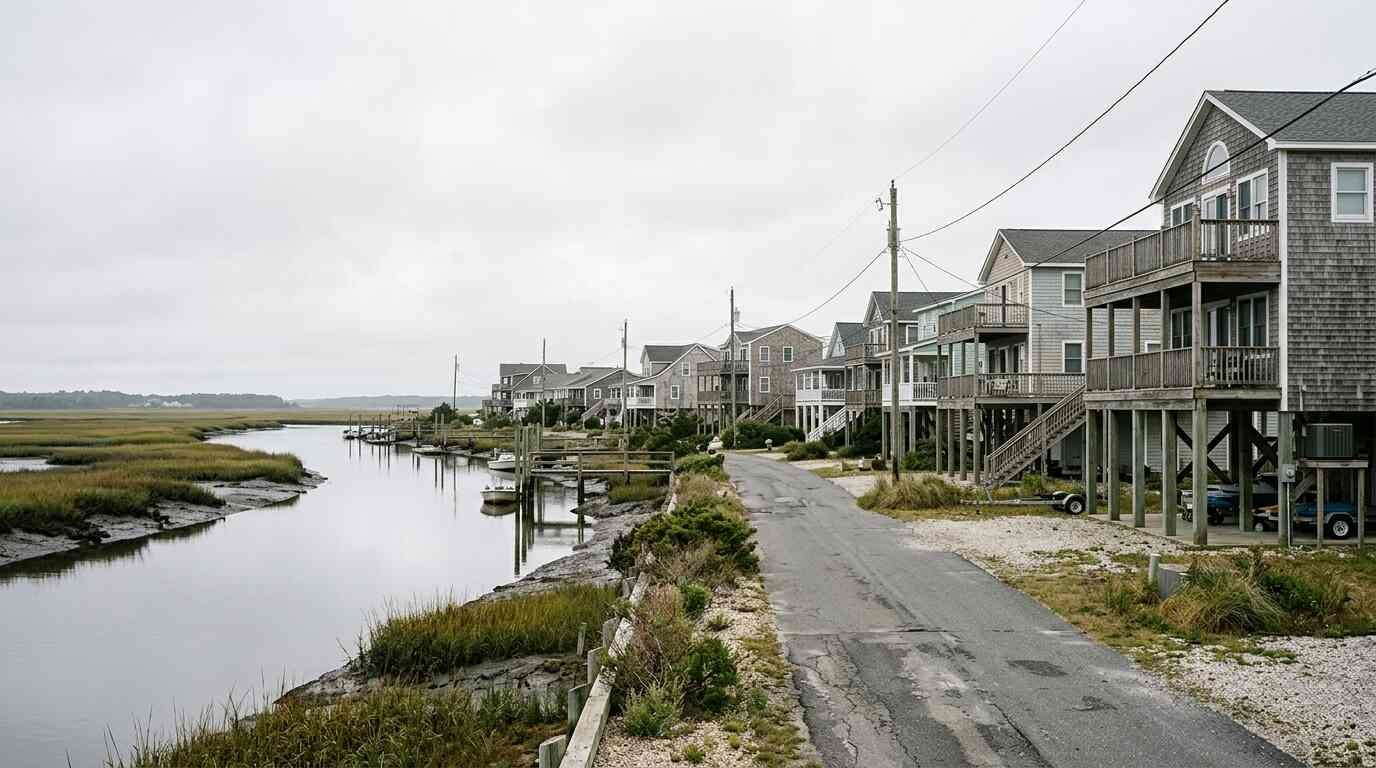
Long Island is surrounded by water on three sides and cut by bays, creeks and tidal marshes. For a buyer, that is part of the appeal. It is also a reason to find out, before an offer, how a particular property relates to flooding.
A flood zone designation tells you something important and leaves much unsaid. Use it as a starting point. This is general information, not legal, tax, financial or insurance advice. Confirm the details of your own situation with your attorney or another licensed professional.
What a flood zone map shows
The Federal Emergency Management Agency publishes Flood Insurance Rate Maps that identify areas of differing flood risk. Special Flood Hazard Areas, sometimes shorthanded as high-risk zones, are those with a one percent annual chance of flooding, the figure often called the 100-year flood. Despite the name, that does not mean flooding happens once in a hundred years; it is a statistical chance in any given year.
You can look up an address on FEMA’s Flood Map Service Center. Maps are updated from time to time, and a property can be remapped. Ask about the current and any preliminary maps for the area.
Why the zone matters to lenders and insurers
If a property lies in a Special Flood Hazard Area and you finance with a federally regulated or federally backed mortgage, the lender generally requires flood insurance. Standard homeowner’s policies do not cover flood damage, so the coverage is a separate policy, available through the National Flood Insurance Program or private insurers. Many policies carry a waiting period before they take effect, so do not wait until the week of closing to ask. Check the current rules with an insurance agent.
Properties outside the mapped high-risk zones can flood too, and many flood claims come from areas the maps call moderate or low risk. Insurance may be optional there and still worth pricing. Premium quotes can differ depending on elevation, building type and whether the structure has features that reduce damage, so get a quote before you commit.
Elevation certificates and what they tell you
An elevation certificate is a document prepared by a licensed surveyor that records a building’s elevation relative to the base flood level. Insurers can use it to rate a policy, and a good one can reduce premiums. Ask the seller whether one exists. If not, your attorney or agent can tell you whether it is worth ordering.
Also ask about the foundation and the lowest floor. Are mechanical systems in the basement or raised? Are there flood vents in the foundation walls? Is the property in a coastal area where wave action is a factor? Those details change how a flood would play out.
Insurance questions to ask early
Ask an insurance agent to price flood coverage for the specific address before you make an offer, and ask what drives the number: elevation, foundation type, building age, and the amount of coverage. Ask how the limits work, what is excluded, such as certain basement contents, and whether private options exist. Compare policies side by side with the same coverage amounts.
Ask your agent and attorney about timing, too. If your lender requires coverage at closing, the policy should be in place by then. Premium estimates can also affect the monthly cost of owning, so build the number into your budget before you decide what the house costs.
Questions for the seller
- Has water ever entered the house, the garage or the yard? When, and how deep?
- Have there been insurance claims, and what was repaired?
- Does the house currently carry flood insurance, and at what cost?
- Are there sump pumps, drainage systems or backflow valves, and who maintains them?
- Has the property been raised or elevated, and are there permits?
- Do any neighbors or local records mention recurring flooding?
In New York, sellers typically provide a property condition disclosure statement or a credit in lieu; the form asks about flooding history. Compare the answers with what you see yourself, and have your attorney explain the effect of the form.
Waterfront and near-water houses
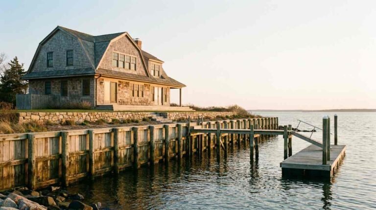
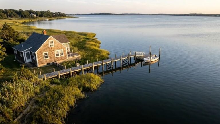
Properties along the Sound, bays and creeks bring extra layers: bulkheads, docks, wetlands setbacks and coastal rules. A permit may be needed for work near the water, and state and local agencies often have a say. Ask the seller for existing permits and any notices received, and have your attorney review them. If the property has a bulkhead, see our guide on what waterfront owners maintain.
Also ask about storm history. Those who have lived through a major event tend to remember the date, the depth and what they did to prepare. Their account, combined with records, gives you a more complete picture than a map can.
Do your own research
Visit the property after a heavy rain and at high tide if it is near the water. Walk the yard, look in the basement and ask neighbors how the street handles storms, without asking about the people. Check county and town sources for drainage projects, and read the inspection report for signs of past water.
Climate and sea-level projections are discussed widely, and long-term risks are a matter of debate and research. Rely on official sources and professionals for numbers instead of marketing language, and plan around the years you intend to own.
Reducing risk after you buy
Mitigation ranges from simple habits to major projects. Keep gutters and drains clear, raise or relocate mechanical equipment, store valuables above the basement floor, and install a sump pump with a backup. Larger options include elevation, flood vents and flood-resistant materials. Your town building department can tell you which permits apply, and some assistance programs may be available; check current offerings.
Document your home’s contents and condition with photographs and an inventory, kept somewhere safe off-site. If water does enter, photograph before you clean, and call your insurer promptly.