Setauket Greenway Trail: Route, History and Nearby Paths
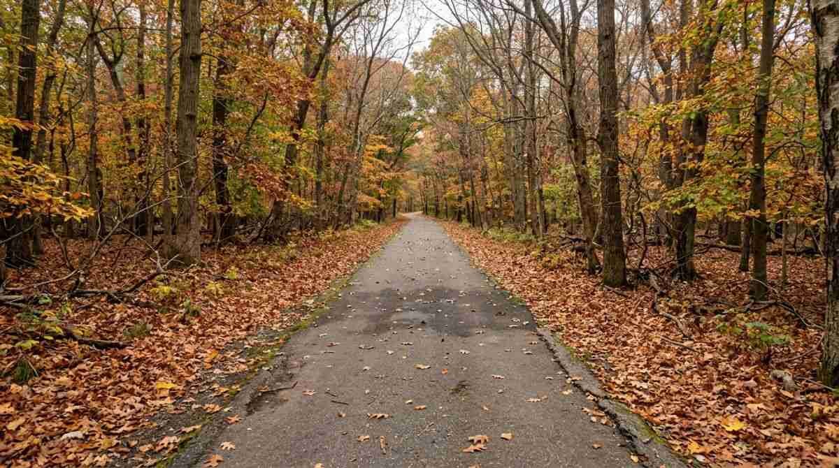
A paved path now runs through a corridor that was once reserved for a highway. The Setauket to Port Jefferson Station Greenway Trail links East Setauket and Port Jefferson Station through woods, past old farmland and across several local roads, and it has become one of the most heavily used walking and cycling routes on this part of the North Shore. This guide describes its route, its history, the habitats along it and the other trails nearby, and it explains what is known and not known about a longer rail-trail that has been proposed to extend the system.
Route and length
According to a 2015 report from TBR News Media, the trail is a paved path used for walking, running, biking and dog walking. Its western end is at Limroy Lane in East Setauket, and its eastern end is at the New York State Department of Transportation parking lot in Port Jefferson Station, near Route 112 and Hallock Avenue. The Town of Brookhaven’s project notice places the western trailhead at Route 25A and Limroy Lane and the eastern end at Route 112 and Route 25A.
Published lengths vary. The 2015 report and the Town of Brookhaven both give about 3.5 miles, while the Three Village Community Trust states that the trail totals about four miles. Because sources differ, anyone planning a one-way ride or a car shuttle should check the current trail map before choosing a start and finish.
How the corridor came to be
The state acquired the land in the 1960s as a proposed bypass of Route 25A. The road was never built. In the 1990s the corridor entered a plan for a Greenbelt Trail, and, according to reporting from TBR News Media, residents began discussing its future in 1999. The Three Village Community Trust describes the strip as roughly 150 feet wide, with a first one-mile section completed in 2009 between Gnarled Hollow Road and Sheep Pasture Road.
Town records say Phase 1 was finished in May 2009 and that the second phase broke ground on May 26, 2012. Funding came from several levels of government: Assemblyman Steve Englebright secured $2.1 million, and Congressman Tim Bishop obtained $5 million in federal transportation funds, according to the town. A decade after the opening, the 2019 article in TBR News Media recorded the trail’s tenth anniversary celebration, held on June 8, 2019. The land beside the trail, the former Lawrence Aviation site, is covered in a separate article.
At the anniversary, Herb Mones of the Three Village Community Trust said, “It is really a testament to the community, volunteers and public officials to see this through,” as reported on the TBR News Media tag page. The Town of Brookhaven describes the corridor as protected open space intended for recreation and conservation, and says its sensor meters indicate that hundreds of thousands of people used Phase 1 alone.

What the trail passes
The 2019 report lists an old-growth forest, woodland, a rhododendron field once grown for Gold Coast estates, a sandpit and the former Lawrence Aviation Industries property along the route. The town’s notice adds rolling hills, neighborhoods, county parkland and old farmland, and it describes the trail as handicap accessible. Because the path is paved, it is usable for walking, cycling and, per the town, other non-motorized transportation.
Several crossings break the route. A mid-trail point near Lynx and Bobcat lanes, east of Old Town Road, hosted the tenth anniversary event. The town and the state coordinated an improvement at the Old Town Road crossing, and the TBR reports describe enhanced crosswalks on Upper Sheep Pasture Road. Cyclists should expect to slow or stop at each of these roads, and pedestrians should do the same before stepping into a crossing.
Because the corridor passes neighborhoods, woodland and county parkland, the setting changes over a few miles. Wooded sections, open crossings and sandpit edges each call for a different pace.
Using the trail
The town says parking is available at both ends of the trail. The trail is also described as a possible commuter route; the town’s project notice expected the extension to be especially useful for Stony Brook University employees and students, and the town notice adds that, with Phase 2 open, cyclists can ride from the Setauket Post Office to upper Port Jefferson Station.
The sources reviewed do not list formal trail hours or posted rules, and they do not describe amenities. One reader quoted in local coverage noted that there are no restroom facilities on the trail, and local coverage mentions an expectation that users clean up after themselves and their dogs. Anyone planning a longer outing should carry water and check current conditions with the Town of Brookhaven.

Who maintains it
The Friends of the Greenway, a committee of the Three Village Community Trust, looks after the trail. According to the Trust, volunteer Trail Stewards help keep it in shape, and Suffolk County Legislator Kara Hahn has been active in maintaining and improving it. Earlier coverage describes an adopt-a-section program in which volunteers walk a stretch, remove litter and trim vegetation, and notes that Boy Scout projects have added benches, mile markers, birdhouses, bat houses and street-crossing signs. The Friends can be reached at 631-689-0225.
The proposed rail-trail extension
The Friends have worked with the North Shore Rails to Trails Alliance on a plan to extend the path from Port Jefferson Station toward Wading River. A 2015 report called for a roughly 15-mile route, and a 2019 article described a county rail-trail from Mount Sinai to Wading River, with officials then hoping to break ground that fall. The Three Village Community Trust page says the extension will open “this year,” but the page gives no date. No source reviewed for this article confirms the current construction status or a completion date, so readers should treat any specific timeline as unverified and check with Suffolk County and the Town of Brookhaven.
Other trails within reach
Several other public paths suit a walk or ride. At Blydenburgh County Park in Smithtown, a 5.7-mile loop circles Stump Pond. At Sunken Meadow State Park, a three-quarter-mile boardwalk and nature trails are open year round, and biking on the boardwalk is permitted all day from September 21 through December 31, 2026. The Greenbelt Trail follows the Nissequogue River at Nissequogue River State Park, with views of the river and Long Island Sound from the bluffs.
Closer to Setauket, Preservation Long Island reports that the grounds and nature trail at the Sherwood-Jayne Farm on Old Post Road are open sunrise to sunset year round at no charge. The trail there is about three miles and the farm does not allow dogs. A trail map is posted as a PDF.

Related reading
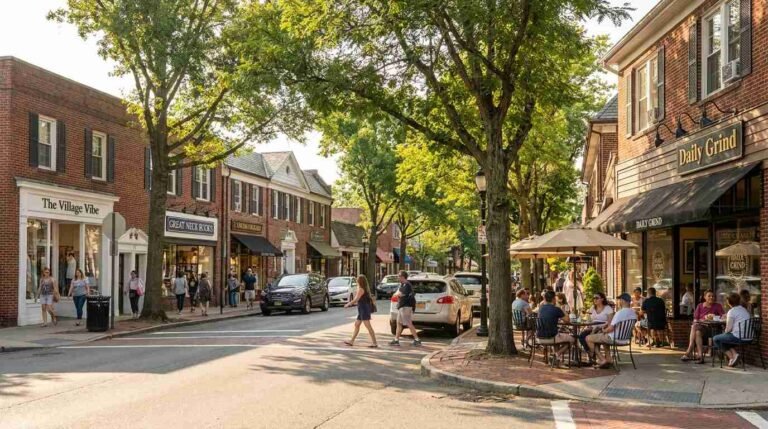
The neighborhoods at the western end of the trail are described in a guide to Setauket and East Setauket, and the post-industrial land beside the path is the subject of the earlier article on the Lawrence Aviation rail yard linked above. The town has also recognized volunteer cleanups; a Brookhaven civic alert notes that the supervisor honored a Cub Scout pack in April 2022 for clearing the trail.
Planning a visit in late fall
Leaf cover shifts the character of a wooded trail in late October and November, and the shorter days bring an earlier dusk. State parks list sunrise to sunset as their operating hours, and the same daylight window is a sensible limit on a path with no listed lighting. Wet leaves can make paved surfaces slick, so tire choice and speed matter.
Once snow arrives, the state lists snowshoeing and cross-country skiing at Nissequogue River State Park, and Sunken Meadow allows cross-country skiing when conditions permit, though not on its golf courses. Sunken Meadow notes that no ski rentals are available and that sledding is not permitted.
This article is general information about public trails and is not an official trail guide.
Useful gear
- ROCKBROS bike handlebar bag: a related item for this activity. See it on Amazon (affiliate link)
As an Amazon Associate I earn from qualifying purchases. A commission may be earned if you buy through this link, at no extra cost to you.
Hours, programs and prices change; confirm details with the official sources linked above before visiting.
Sources
- TBR News Media, Friends of the Greenway host local litter patrol (2015)
- TBR News Media, Greenway Trail 10th anniversary preview (2019)
- Town of Brookhaven, Greenway trail project notice
- Town of Brookhaven, Greenway civic alert
- TBR News Media, Friends of the Greenway tag page
- Three Village Community Trust, Friends of the Greenway
- TBR News Media, Three Village Community Trust tag page
- Suffolk County Parks, Blydenburgh County Park
- NYS Parks, Sunken Meadow State Park
- NYS Parks, Nissequogue River State Park
- Preservation Long Island, Sherwood-Jayne Farm