Rocky Point Pine Barrens State Forest Hiking Guide

Overview of the forest
Rocky Point Pine Barrens State Forest covers nearly 6,000 acres in the Town of Brookhaven, Suffolk County, and the New York State Department of Environmental Conservation (DEC) manages it for public recreation. The agency’s page for the Rocky Point Natural Resource Management Area notes that the Radio Corporation of America (RCA) once operated the land as a global communications center, a use that ended once orbiting satellites made the installation obsolete. Entry is free, and the forest is open year-round.
Visitors arriving from Setauket or Port Jefferson reach it by following Route 25A east. The hamlet of Rocky Point, according to DEC, supplies gas, food, lodging and other supplies nearby.
Where the forest fits in the Central Pine Barrens
The forest is one piece of a much larger protected landscape. The Long Island Pine Barrens Protection Act was signed into law in 1993, and the Long Island Pine Barrens Society describes the protected region as about 100,000 acres, divided into a Core Preservation Area, where new development is not permitted, and a Compatible Growth Area, where limited development is allowed. The core has grown from its original 53,000 acres to more than 56,000 acres.
Wikipedia adds two ecological points that explain why the land is protected. The Pine Barrens overlie and recharge part of a federally designated sole source aquifer, and all of Long Island’s drinking water comes from groundwater wells. The same article states that pine barren ecosystems are highly adapted to fire and generally require periodic fires to maintain their vegetation and wildlife.
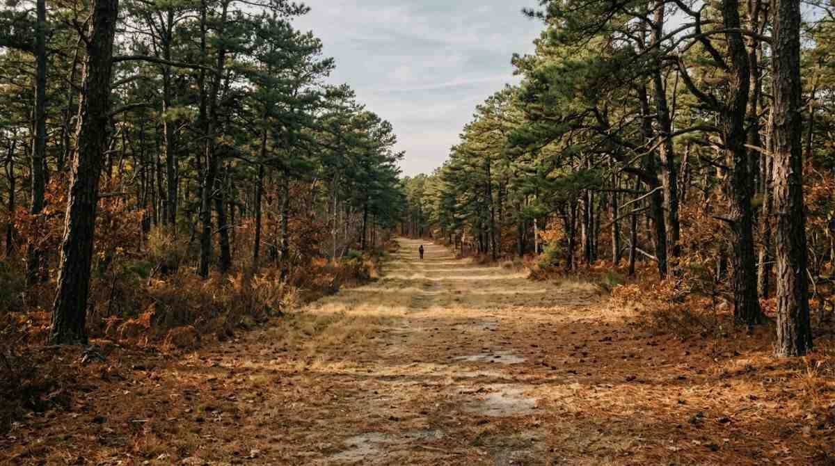
The 125-mile Paumanok Path ties the region together. The Central Pine Barrens Commission describes it as a trail marked with white blazes that runs from Rocky Point to Montauk Point State Park, and a short stretch of it passes through this forest.
Permits before arriving
A permit is required even though admission costs nothing. DEC asks visitors to obtain a free three-year Managed Land Access Permit, which requires a NY.gov account. The seasonal permit covers January 2 through October 31 in this forest. From November 1 through December 31, and during the January deer season, a daily permit is required, and DEC states that reservations are needed for weekends, holidays and the January deer season.
That schedule matters for late-October visits, because the rules change on the first of November. The DEC pages list a permit station at the Ridge Conservation Area, and visitors can confirm current procedures by calling the DEC Region 1 Stony Brook office at (631) 444-0270 on weekdays.
Getting there and parking
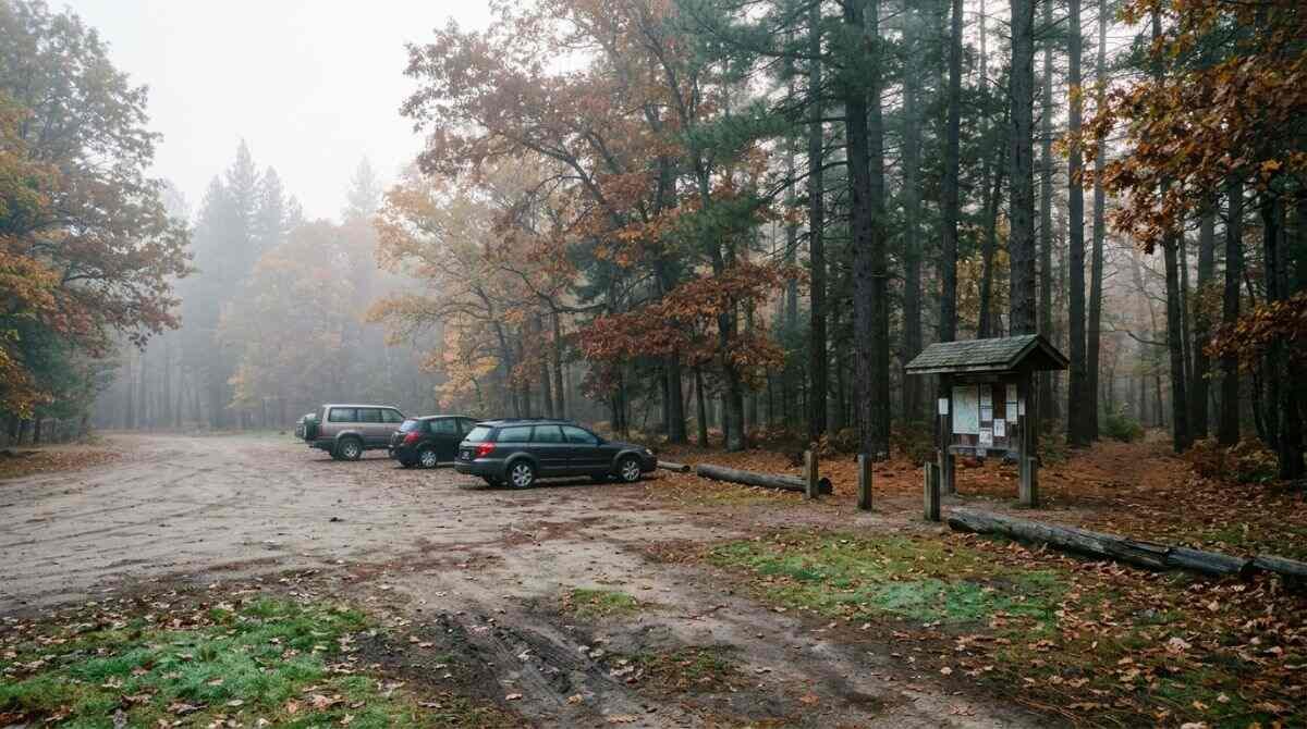
DEC gives driving directions from the Long Island Expressway: take Exit 67N onto County Route 21 (Rocky Point Road), head north about 6 miles to Whiskey Road, and turn right. The main entrance is on the left. Parking areas are listed on Route 25A in Rocky Point, on Whiskey Road, and on Rocky Point Road, although the Rocky Point Road lot is described as bike-trail access only.
DEC publishes coordinates for each lot, including the North Hiking Trailhead, a Demonstration Forest lot and a South Bicycle Trailhead so that a navigation app can be pointed at the correct lot. The Central Pine Barrens Commission’s hiking page lists the same three general parking areas.
The hiking trails
DEC counts 12.2 miles of hiking trails. The Blue Trail runs 4.8 miles and the Red Trail 5.4 miles, and the two combine into a 10.2-mile loop. The Paumanok Path segment adds 0.7 miles, and yellow connector trails average 0.8 miles. A 0.5-mile accessible trail also exists, and a DEC permit is required to use any of them.
For a shorter outing, the Long Island Greenbelt Trail Conference once led a free guided hike here that was described as a 4-mile, easy loop through varied terrain using the Paumanok Path and the Blue, Yellow and Red trails. That listing, on the Pine Barrens Society event page, dates from June 2021 and described a meeting point in the DEC lot on NY 25A, so it serves as a route idea rather than a current program. Visitors planning a loop can compare it with the official trail map before setting out.
A Greater Long Island roundup of hikes near Port Jefferson also lists the forest, with its Red and Blue loops, and calls out the former RCA site as a point of interest.
Accessible route
The Middle Country Road Parking Area serves a yellow trail of 0.5 miles one way. DEC describes it as having a maximum slope of 5 percent, a minimum tread width of 4 feet and a firm crushed-stone surface. The DEC page does not give directions to that lot, so visitors with mobility needs can call the Stony Brook office before traveling.
Fire management and the Demonstration Forest
A Demonstration Forest lies along the Paumanok Path. DEC established it after southern pine beetle was found on the property in 2015, and it is used for public education and research on fire as a tool against the beetle. One section uses a cut-and-leave method and another uses cut-and-remove, which mimics logging.
In April 2021, DEC and volunteers carried out the first prescribed burn of the second section, at Whiskey Road and Miller Place Yaphank Road. The agency lists several stated benefits of prescribed fire: better habitat for rare species, reduced wildfire fuel, tree spacing that disrupts the beetle’s pheromone communication, and firefighter training. Historical fire breaks, mainly south of Whiskey Road, were also built and maintained under a DEC contract in April 2019.
Seasonal notes: hunting, closures and ticks
Hunting and trapping are permitted in Wildlife Management Unit 1C, which includes the forest, and DEC applies special rules during the January firearms deer season. All trails and roads close during shotgun season, which starts on the first Sunday in January and runs through the end of that month. Visitors in the fall can review DEC’s hunting information for Long Island before choosing a day.
Ticks are a separate consideration. Suffolk County’s health department says ticks can be active year-round whenever temperatures are above 40 degrees Fahrenheit, and it recommends light-colored clothing, long sleeves, long pants tucked into socks, and EPA-registered repellents used as labeled. The Pine Barrens Society tick guidance adds staying on marked trails, checking clothing during and after a hike, and showering soon afterward. Details are on the Suffolk County tick page.
Other ways to use the forest
- Mountain biking is limited to marked bicycle trails, with a hard-shell helmet and eye protection required. DEC lists 25 trails, a main loop of 11.2 miles and an optional 3.4-mile Westside Loop, and the Rocky Point season runs April 1 to 30, May 1 to 31 (afternoons only) and June 1 to October 31, with trails possibly staying closed until April 1 after freeze-thaw damage.
- Horseback riding has 19.6 miles of trails. Horses need a current negative Coggins certificate, and an accessible mounting platform sits at the Whiskey Road horse trailer lot.
- Cross-country skiing and snowshoeing are permitted on all hiking trails.
- The forest appears on the New York State Birding Trail, according to DEC.
Planning a visit
DEC asks visitors to practice Leave No Trace principles, follow its Suffolk County land use regulations and use Hike Smart NY safety guidance. For emergencies, including search and rescue or wildfire, the agency lists 911 and 1-833-NYS-RANGERS (1-833-697-7264). Bringing water, a printed or downloaded trail map and a charged phone is a sensible habit on a property this large, and the white blazes of the Paumanok Path help set that route apart from the colored loops.
Nearby and related reading
DEC lists other state lands close by, including the Ridge Conservation Area, Panamoka Pine Barrens State Forest, Calverton Pine Barrens State Forest and Otis Pike Preserve. Closer to Setauket, the Setauket Greenway article covers a paved multi-use trail and the rail yard beside it, and an earlier article addresses selling near the Pine Barrens on Long Island.
This article is general information only and does not replace guidance from DEC or other agencies.
Further reading
- Hiking Long Island: A Comprehensive Guide to Parks and Trails: a related title for this activity. See it on Amazon (affiliate link)
As an Amazon Associate I earn from qualifying purchases. A commission may be earned if you buy through this link, at no extra cost to you.
Hours, programs and prices change; confirm details with the official sources linked above before visiting.
Sources
- NYS DEC: Rocky Point Natural Resource Management Area
- NYS DEC: Rocky Point Pine Barrens State Forest
- Central Pine Barrens Commission: Hiking
- Long Island Pine Barrens Society: Pine Barrens Protection Act
- Long Island Central Pine Barrens (Wikipedia)
- Pine Barrens Society: Guided Hike, Rocky Point Ramble
- Pine Barrens Society: Tick-Safe Hiking
- Suffolk County Health Services: Ticks
- Greater Long Island: 5 great hikes around Port Jefferson