How to Find Your Suffolk County Tax Map Number (and Read It)
This article is general information about New York real estate practice, not legal advice. Fees, forms and procedures change, so confirm with the office involved and with your attorney before you act.
Ask a clerk, a title company or a surveyor for your property record and the first thing they want is a number. Not your street address. A code.
In Suffolk County that code is the tax map number, and once you know where to look it takes about thirty seconds to find. Understanding what the four parts mean takes a little longer, but it pays off the next time a form asks for it.
What the number is
The county’s Real Property Tax Service Agency states that each parcel on a tax map is identified by a District, Section, Block and Lot number. Together they form what people call the DSBL. The agency describes the tax map number as the keystone to the description of all real property in Suffolk County, which is a fair summary: deeds, assessments and many county records are tied to it.
That is why an address alone can fall short. Addresses get renamed, mail towns differ from taxing districts, and a single lot may carry more than one street name over its history. The parcel code stays attached to the land.
Where to find yours fastest
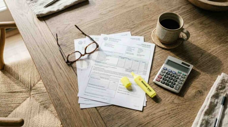
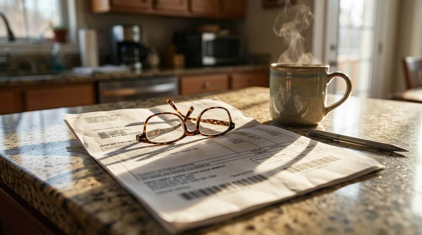
Your property tax bill is the quickest source. The county’s own example shows the number as it appears on a bill: District 0200, Section 001.00, Block 01.00, Lot 001.000. In that example, district 0200 stands for Brookhaven. Your bill will show your own values, and the district portion identifies the town.
If the bill is gone, the assessor’s office in your town or village can give you the number. The County Clerk says the same when it asks mail requesters for the number with a deed order, so you will use this lookup more than once if you ever need to order records.
The county also links a Public Tax Map Viewer from its Tax Map Division page, which is the public tool for finding parcels on a map. The page does not explain how to search that viewer by address or owner, so expect to click around until you find your lot.
How to read the four parts
- District is the first block of digits and corresponds to the town or taxing area.
- Section narrows the district down to a section of the tax map.
- Block narrows it again within the section.
- Lot is the individual parcel.
Read left to right, the number moves from the widest area to the single piece of land. If you ever see two lot numbers on one bill, you may own a parcel made of more than one lot, and that is a question for your assessor.

When you will need it
- Ordering a copy of your deed from the County Clerk, which asks for the number with a photocopy of the bill.
- Filing a property tax grievance or checking an exemption with the assessor.
- Commissioning or locating a survey and title report for a sale or refinance.
- Asking the town about permits, zoning or a variance for a specific lot.
A few cautions
Copy the number exactly, including the decimals and leading zeros. A missing digit sends you to a different parcel, or to none at all.
If you are splitting or combining lots, the county says that application usually starts with the assessor in your town or village, and it advises checking zoning and variance rules with the local building and planning departments first. Do that before you spend money on a survey.
And if you are in the middle of a purchase or sale, your attorney and title company will pull the number for you. It is still worth knowing how to read it, because it lets you catch a typo before it travels from one document to the next.