The Fire Island Inlet Bridge Hole Video: What Happened After It Spread
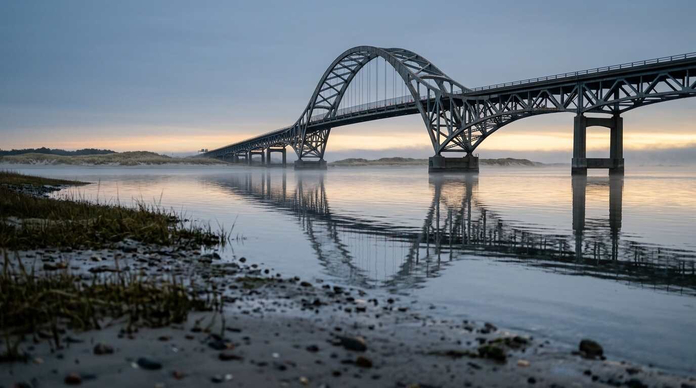
Through a gap in the roadway, moving water was plainly visible. That single detail, captured on video in February, turned a damaged stretch of deck into a state-level conversation about a 62-year-old bridge.
The questions below follow the clip from the first post to the current schedule, using published reports and statements from legislators and the New York State Department of Transportation (NYSDOT). Dates and quotes are attributed to the outlet that reported them, and no report reviewed gave view counts, repair costs, or anything newer than the spring work.
What does the video show?
A section of the bridge deck is missing, leaving an opening large enough that drivers stopped and water could be seen below. Fire Island News said the Instagram account @finews posted the footage on February 20 and described the opening as showing water roughly 60 feet down, with only bar grating visible. News 12 Long Island carried its own reel of the clip, embedded below as it appeared in Greater Long Island’s coverage.
Watch the News 12 Long Island reel on Instagram
Which bridge is it, and what does it connect?
The span crosses Fire Island Inlet and carries the Robert Moses Causeway to Robert Moses State Park on the western tip of Fire Island. According to Wikipedia’s entry on the bridge, it opened in 1964 as a two-lane steel tied-arch span with a concrete deck, measuring 4,231 feet. News 12 described the structure as 62 years old in its April coverage, which matches that opening year.
How did the clip reach officials?
Greater Long Island’s headline called it a viral video, though no view counts appeared in the reports reviewed. What the record does show is speed: four days after the February 20 post, two Assembly members issued a joint release. Assemblymen Michael Durso and Jarett Gandolfo, according to the release on Durso’s Assembly page, described a hole large enough to stop drivers and requiring emergency repairs before the roadway reopened.
What did the legislators ask for?
They asked NYSDOT to begin the planned rehabilitation in 2026 instead of the fall 2027 start on the schedule, and to make full repairs rather than temporary ones. “You don’t slap patches on a bridge and hope for the best — you fix it the right way,” Durso said. Gandolfo’s statement, posted on his own Assembly page, put the concern in plainer terms: “I don’t think anyone is comfortable with the pavement eroding to the point that we see the water below.”
Fire Island News quoted a longer passage from the lawmakers calling the bridge “a vital piece of our local infrastructure, connecting our mainland communities to the world-class beaches of Robert Moses State Park.” Other elected officials also commented publicly on the bridge, and the political back-and-forth is covered in that report.
What did NYSDOT say?
The department’s position, repeated across February coverage, was that the bridge “remains safe for travel and NYSDOT, as always, will continue to monitor conditions on the span.” A previously planned rehabilitation, it added, was expected to begin in 2027. Greater Long Island’s follow-up report on the repair, which names department spokesman Stephen Canzoneri, said the extent of the damage was limited and that NYSDOT was not changing its dates despite the political pressure.
How was the hole fixed?
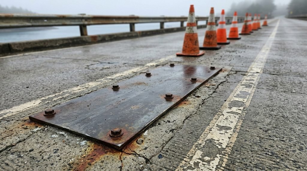
In two stages. Crews first secured steel plates over the damaged deck and an adjacent pothole so the roadway could reopen, which Greater Long Island reported in February. Reports attributed the damage to erosion tied to severe winter weather, and Greater Long Island’s account added repeated freeze-thaw cycles to the explanation.
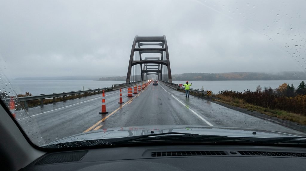
A second repair followed in April. News 12 reported that work would begin Wednesday, April 22, at 10 a.m., with the causeway between Ocean Parkway and Robert Moses State Park reduced to one lane, “with alternating flows of traffic controlled by flaggers.” The job was expected to last about a week and included removing the temporary plates.
What do the inspection records say?
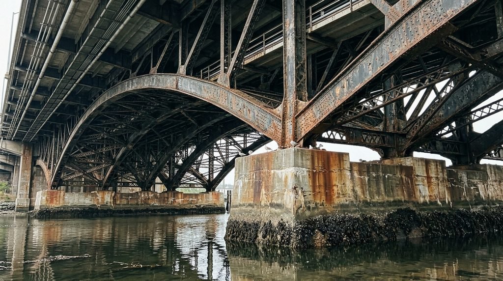
According to News 12’s April 22 report, inspection reports dating to 2020 had documented exposed rebar, cracked concrete, and rusting steel on the structure. The same coverage noted that engineers were carrying out the bridge’s annual inspection while the repair crews worked, and a department spokesperson said, “We’re going to be taking all the information we’re learning from the inspection to formulate a plan for a rehabilitation project.”
Those findings come from news reporting on the inspections. The reports themselves were not reviewed for this post.
When is the full rehabilitation scheduled?
The schedule cited by the legislators has construction starting in fall 2027 and finishing in spring 2028. As of the reporting reviewed here, no change to those dates had been announced, and no later update turned up in a search conducted October 5, 2026. NYSDOT’s capital program documents could not be retrieved for verification, so anyone relying on the timeline for travel or property plans should confirm it with the department directly.
Why does a bridge repair matter to people who own or are buying near the inlet?
Access is the practical link. The causeway is the route to Robert Moses State Park, and News 12’s April coverage placed the one-lane work zone between Ocean Parkway and the park, a small example of what a repair can mean for travel in a given week. None of the sources reviewed addressed property values, and nothing here should be read as a statement about them.
Buyers weighing a home near the inlet can ask about road access and seasonal closures as part of ordinary due diligence, alongside questions of flood zones and insurance covered in Flood Insurance on Long Island’s North Shore: What FEMA Maps Don’t Tell You About Sound-Facing Properties and What Makes a Long Island Waterfront Listing Worth the Premium — And How to Tell If It Is. How the causeway itself reshaped the inlet’s sand supply is traced in The Inlet That Eats Beaches, and Fire Island’s earlier road history appears in The Dune Road That Drowned.
This is for informational purposes only — consult a licensed attorney or financial advisor for specific decisions. Project schedules and repair plans can change, and the facts above reflect reporting published between February and April 2026.
You Might Also Like
- The Gilded Cottages of Oak Beach: How a Forgotten Colony of Victorian Summer Houses Survived a Century of Storms
- Where the Barrier Island Begins: A Driving Tour of Dune Road’s Western End
- The Lifeguard Towers Robert Moses Built to Watch More Than Swimmers
Sources
- News 12 Long Island, February 24, 2026: Assembly members demand NYSDOT accelerate timeline for Robert Moses Causeway bridge repairs
- Greater Long Island: Viral bridge hole video prompts push to speed up Robert Moses repairs
- Greater Long Island: Fire Island Inlet Bridge hole repaired; DOT says span remains safe
- Fire Island News, February 24, 2026: The Hole in Fire Island Inlet Bridge Becomes a Lightning Rod for Political Controversy
- Assemblyman Michael Durso, February 24, 2026: Disturbing Viral Video Leads Assemblymen Durso and Gandolfo to Demand Swift Action by NYSDOT on Fire Island Inlet Bridge
- Assemblyman Jarett Gandolfo, February 24, 2026: press release on the Fire Island Inlet Bridge
- News 12, April 21, 2026: Repairs to fix hole in Fire Island Inlet Bridge begin Wednesday; lane closures planned
- News 12, April 22, 2026: Work to begin today to repair critical erosion damage on the Fire Island Inlet Bridge
- Wikipedia: Fire Island Inlet Bridge