The Eelgrass Crisis in Peconic Bay — and Why Every Bayfront Buyer in Southold and Shelter Island Should Read the Water Quality Data Before Closing
The underwater meadows that define Peconic Bay’s fishing and clamming culture have lost over 60 percent of their coverage since 1987 — and waterfront property values are only beginning to feel it.
That number comes from the Peconic Estuary Program’s long-term monitoring data, and it is not a projection or a model output. It is a mapped measurement, updated annually, of a habitat that has been functionally collapsing in slow motion for nearly four decades. The brown tide algae blooms that first appeared in Peconic Bay in 1985 triggered an eelgrass die-off that restructured the bay’s ecology in ways that are still working through the system — and that will have real consequences for anyone buying bayfront property in Southold, Shelter Island, or the North Fork who expects the bay to fish and clam the way it did a generation ago, or who hasn’t thought carefully about what the regulatory response to nitrogen loading means for the septic system on the property they’re about to close on.
I work primarily on the North Shore, but the Peconic is Long Island water — and the due diligence questions it raises are questions I believe any serious buyer’s agent should be able to answer regardless of which bay is in the backyard. The North Shore bluffs face Long Island Sound; the North Fork and Shelter Island face the Peconic. The water is different, the issues are different, but the principle is the same: environmental variables that affect the character and viability of the bay are not disclosed in a standard property inspection, and buyers who don’t go looking for them will eventually find them anyway, usually at the wrong moment.

What Eelgrass Actually Does
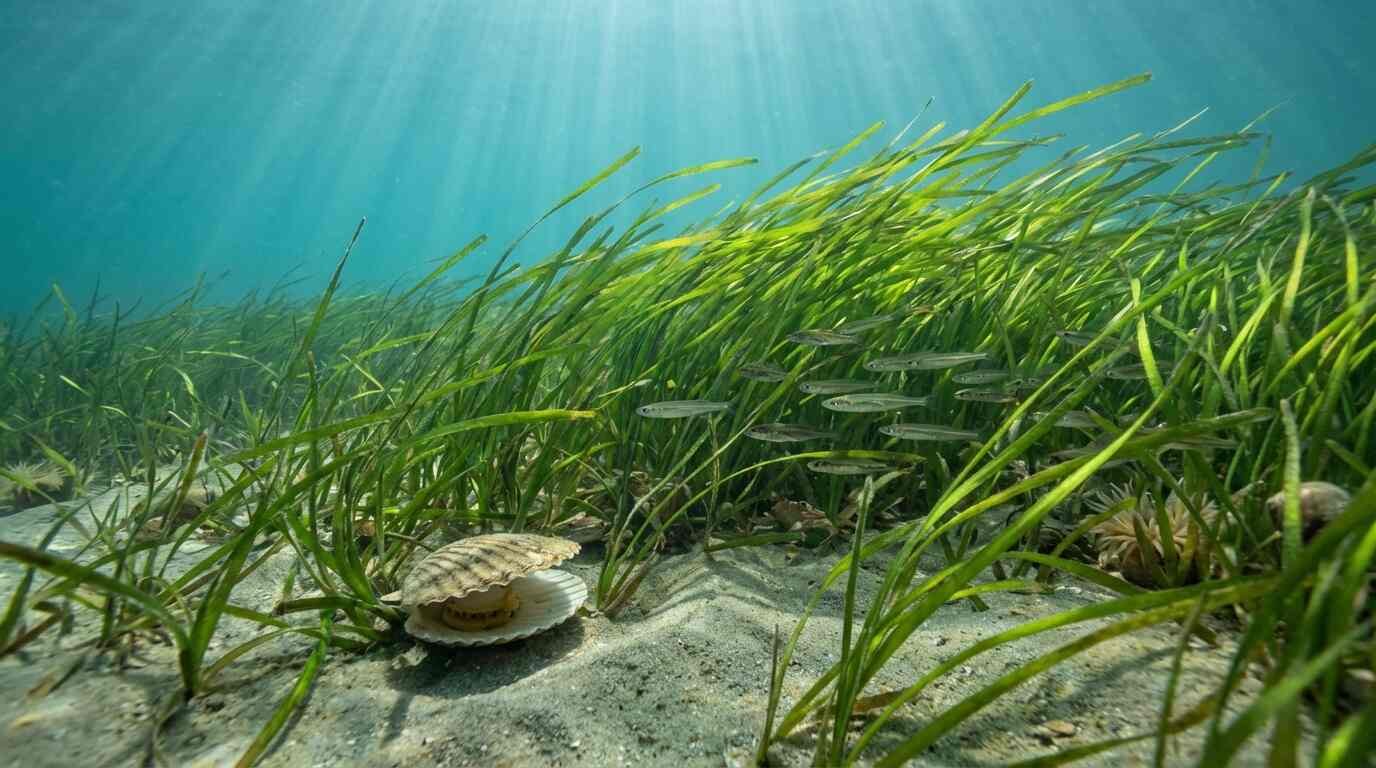
Eelgrass — Zostera marina — is not a decorative feature of a healthy estuary. It is the foundational habitat for the bay scallop, the juvenile flounder, the blue claw crab, and the vast majority of the species that define Peconic Bay as a productive fishery. Eelgrass beds provide the structure that fish and invertebrates require for spawning, juvenile development, and shelter from predators. They stabilize bottom sediments, reducing turbidity. They absorb and process the nitrogen that enters the bay from the watershed. They are, in the most literal sense, what makes a bay bay.
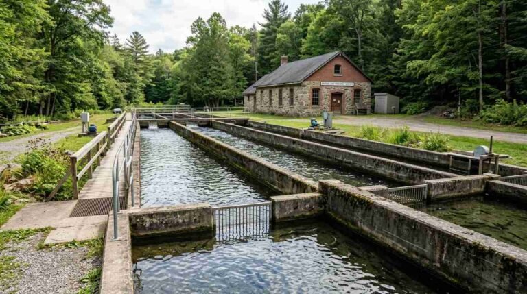
When eelgrass goes, the ecology that depended on it doesn’t simply relocate. It diminishes. The Peconic bay scallop — once the basis of a significant commercial and recreational harvest — has essentially collapsed as a viable fishery in the bay’s western reaches, where eelgrass loss has been most severe. Cornell Cooperative Extension’s Marine Program has been running a bay scallop restoration effort in the Peconic for years; the effort is genuine and the science behind it is sound, but it is working against a habitat problem that restoration seeding cannot fully address without recovering the eelgrass beds that would allow scallop populations to sustain themselves naturally.
Dr. Christopher Gobler’s brown tide research at Stony Brook University’s School of Marine and Atmospheric Sciences has been the primary academic framework for understanding the mechanism. The brown tide (Aureococcus anophagefferens) that first bloomed in Peconic Bay in 1985 is a small-celled alga that occurs at densities sufficient to block the light that eelgrass needs for photosynthesis. A severe bloom year effectively starves the eelgrass beds of light for weeks at a time, killing established plants and preventing recolonization. Gobler’s work has connected the bloom’s intensity to nitrogen loading from the watershed — primarily from the cesspools and septic systems of the approximately 360,000 Suffolk County households that still discharge nitrogen-laden effluent directly into the groundwater that feeds the bay.
That is not an abstract environmental concern. It is a regulatory trajectory that every Southold and Shelter Island buyer needs to understand before closing.
The Nitrogen Problem and What It Means for Your Septic
Suffolk County’s Reclaim Our Water program exists because the nitrogen loading from conventional cesspools and septic systems has been identified as the primary driver of the water quality conditions that produced the brown tide blooms that destroyed the eelgrass. The program’s nitrogen mapping data identifies the Peconic watershed as among the highest priority areas for septic upgrade mandates — meaning that the political and regulatory pressure to require nitrogen-reducing septic systems in this area is not speculative. It is underway.
What that means for buyers is specific: a property with a conventional cesspool or standard septic system in a Peconic tributary watershed may be facing a mandatory upgrade requirement within a planning horizon that is relevant to the ownership period you’re considering. Suffolk County Department of Health Services data maps the tributary areas subject to the most stringent nitrogen reduction targets. The cost of a nitrogen-reducing alternative system — an I/A OWTS (innovative/alternative onsite wastewater treatment system) — typically runs $15,000 to $30,000 installed, before any site-specific complications.
This is a carrying cost that belongs in your purchase calculation, and it is not currently a standard disclosure item in a New York State property transaction. The inspection will not flag it. The seller’s disclosure form will not prompt it. You have to know to ask, and you have to know which mapping data to consult.
The Suffolk County Department of Health Services maintains a GIS mapping tool for nitrogen loading and I/A system priority areas. The Peconic Estuary Program’s Comprehensive Conservation and Management Plan, updated periodically, identifies the specific sub-watersheds under the highest regulatory pressure. These are public documents. They are not obscure. They simply require someone who is looking for them on your behalf.
What Charter Captains Know That Listing Agents Don’t
I want to be direct about a gap in the information that typically reaches buyers of Peconic bayfront property.
The captains who work Peconic Bay for striped bass, fluke, and blue claws are navigating around dead zones that didn’t exist when they started fishing. The productive water has shifted. The areas that once held scallop beds on the bottom have changed. The fishing that a buyer imagines doing from a property’s dock — the fishing that arguably drove significant premium into the purchase price of a bayfront parcel — is not necessarily the fishing the bay currently supports in that location.
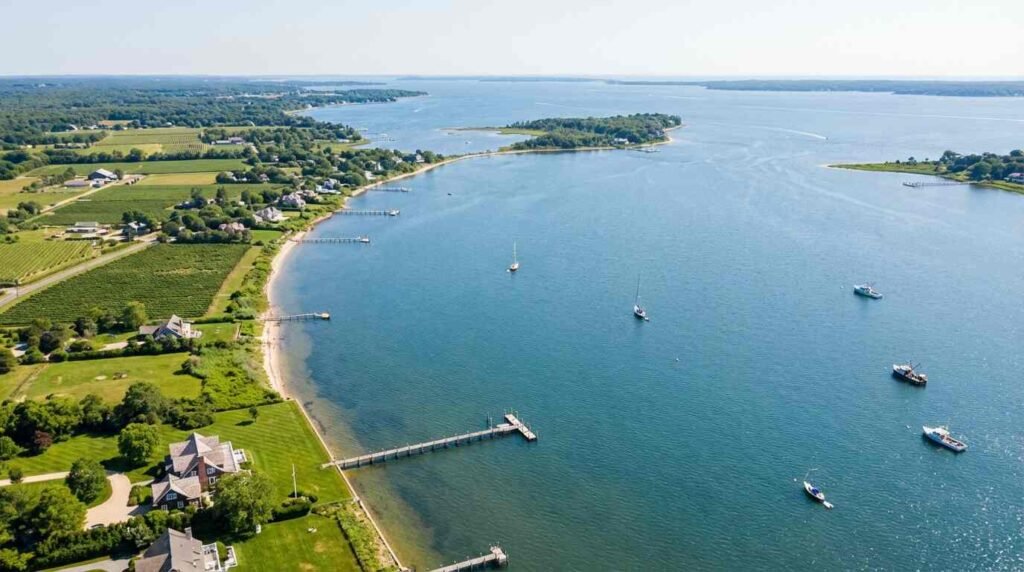
This is not a counsel of despair. The Peconic is a large, complex estuary, and there are areas where eelgrass has held and where the ecology remains productive. The Shelter Island Sound, portions of the Little Peconic, and sections of the North Fork shoreline with favorable nitrogen conditions have shown more resilience than the bay’s western reaches. The monitoring data distinguishes between these areas with a precision that a thoughtful buyer can actually use.
The point is that “Peconic bayfront” is not a uniform category from a water quality or recreational fishing standpoint, and the variation within it is consequential enough to affect how you should think about specific properties. Waterfront due diligence on the North Shore — where I spend most of my time — involves similar questions about dock rights, bulkhead condition, and bluff stability. The Peconic adds an environmental layer on top of the structural one.
The Restoration Picture: Realistic Assessment
The Peconic Estuary Program’s monitoring reports — published annually and available through the program’s website — track eelgrass coverage with mapped precision. The trend data since the late 1980s shows a collapse, a partial stabilization in some areas during years with lower brown tide intensity, and ongoing vulnerability to severe bloom years. The program’s Comprehensive Conservation and Management Plan sets restoration targets, and there is genuine scientific effort behind them.
Cornell Cooperative Extension’s bay scallop seeding program has demonstrated that scallop populations can be re-established in areas with adequate eelgrass, and that the eelgrass can recover in areas where nitrogen loading is reduced. The Suffolk County cesspool upgrade program, if implemented at scale, would reduce the nitrogen flux into the bay over a 10-to-20-year horizon.
That is a long time horizon for a buyer closing in 2026. The honest assessment is that the Peconic’s eelgrass situation is unlikely to improve dramatically within the near-term ownership period of most buyers entering the market now, and may worsen in severe bloom years. The regulatory pressure on nitrogen sources will continue to increase, which means the cost burden on property owners in the watershed will also increase.
This is not a reason to avoid Peconic bayfront property. It is a reason to buy it with a clear understanding of what you’re getting into — environmentally, recreationally, and from a regulatory compliance standpoint — rather than the version of the bay that appears in a listing photograph taken on a clear day in July.
The Due Diligence Checklist
Before closing on any Peconic bayfront property in Southold or Shelter Island, I would want my buyer to have the following:
Water quality data for the specific location. The Peconic Estuary Program publishes georeferenced eelgrass coverage maps. Pull the data for the area adjacent to the property you’re considering. Know whether you’re buying into a recovery area or a depleted one.
Nitrogen loading mapping for the property’s sub-watershed. Suffolk County’s mapping tools will tell you whether the property is in a priority I/A upgrade area. If so, factor the upgrade cost into your purchase price analysis.
Septic system documentation. Determine what system is currently in place, its age, and its compliance status. Any cesspool on a Peconic-watershed property is a liability with a regulatory clock on it.
Dock and water access documentation. The riparian rights structure on Peconic bayfront parcels can be complex — the East End dock rights picture has its own legal complications that require more than a title search to untangle.
Flood insurance assessment. Peconic bayfront properties are subject to FEMA flood zone designations that affect both insurability and renovation costs. The flood zone renovation math is unforgiving if you’re planning significant work on a structure in a high-risk zone.
None of this is designed to scare you away from the Peconic. It’s designed to make sure you arrive at closing knowing what you actually bought. The bay is still beautiful. The good days on the water are still very good. But the data exists, and using it is what separates a well-advised buyer from one who discovers the problems after the papers are signed.
Real estate markets change. This post reflects conditions as of the publish date. For current listings and market data, contact Pawli at Maison Pawli.
This post is for informational and historical purposes only and does not constitute legal or financial advice. Consult a licensed attorney or financial advisor for your specific situation.
Sources
- Peconic Estuary Program — Annual eelgrass monitoring reports and Comprehensive Conservation and Management Plan (CCMP). https://www.peconicestuary.org
- Dr. Christopher Gobler, Stony Brook University School of Marine and Atmospheric Sciences — Peer-reviewed brown tide research and nitrogen loading analysis. https://www.somas.stonybrook.edu
- Suffolk County Department of Health Services — Nitrogen loading GIS mapping data, I/A OWTS priority area designations, Reclaim Our Water program documentation. https://www.suffolkcountyny.gov/Departments/Health-Services
- Cornell Cooperative Extension Marine Program — Bay scallop restoration documentation, Peconic Estuary. https://www.ccesuffolk.org/marine
- Stony Brook University — Published brown tide research archive. https://www.stonybrook.edu